Cord Federal OGDP Map (24" x 36" Print)
Cord Federal OGDP Map (24" x 36" Print)
Couldn't load pickup availability
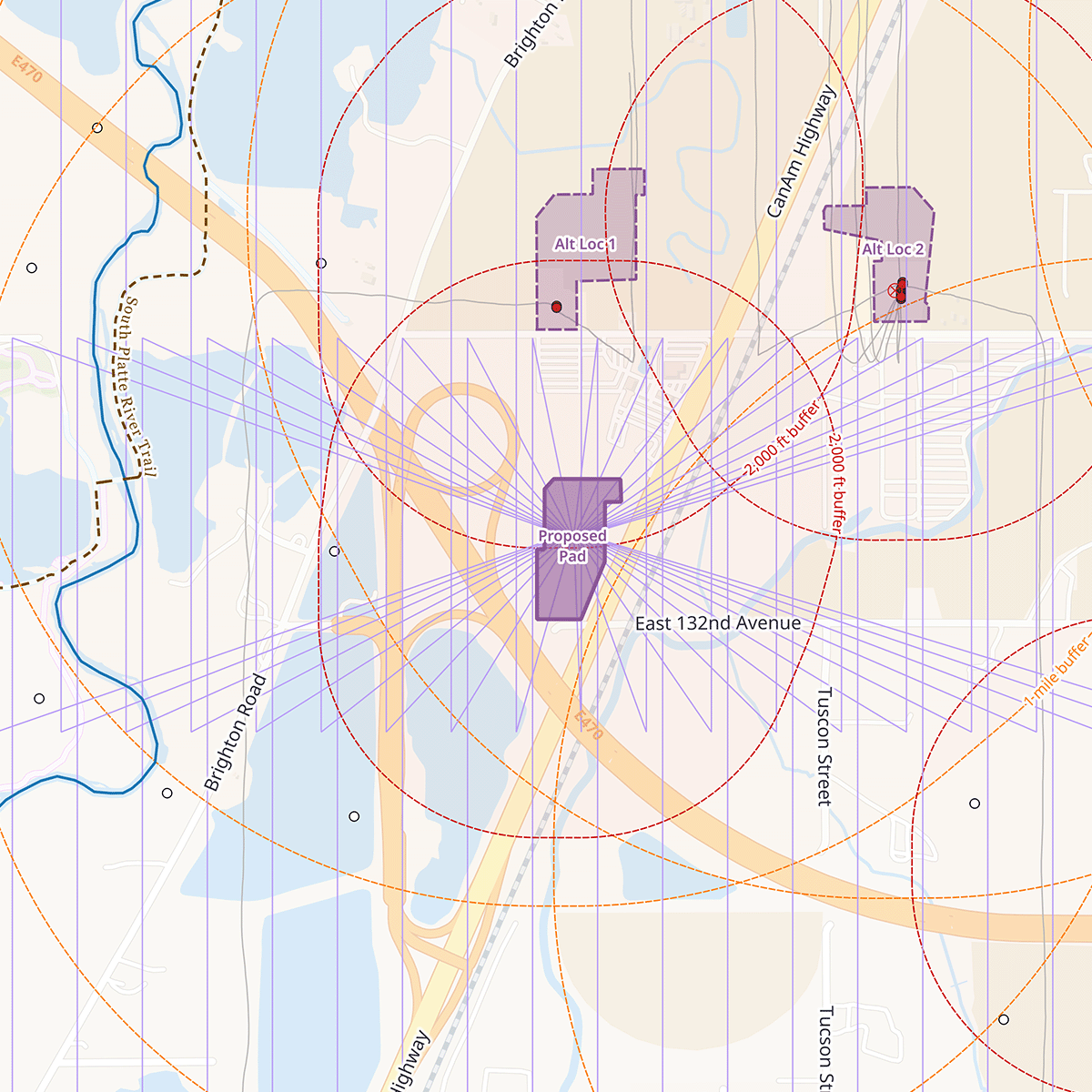
This map depicts the proposed Chevron Cord Federal Oil & Gas Development Plan in Adams County, Colorado with 40 wells on a single pad, sited within a state-designated Disproportionately Impacted Community just east of the South Platte River and the Adams County Fairgrounds. It shows the proposed pad and five alternate locations, health-risk buffer zones, and nearby existing oil & gas infrastructure. Use this map to understand what's proposed near your home, or as a discussion tool when speaking with local, county, or state elected officials about oil and gas permitting decisions affecting your community.
Your map will be printed to order at a 24 x 36 inch size on 24 lb paper and includes free local delivery to the 80516/Erie zip code.
Share