Broomfield Oil & Gas Infrastructure Map (24" x 36" Print)
Broomfield Oil & Gas Infrastructure Map (24" x 36" Print)
Couldn't load pickup availability
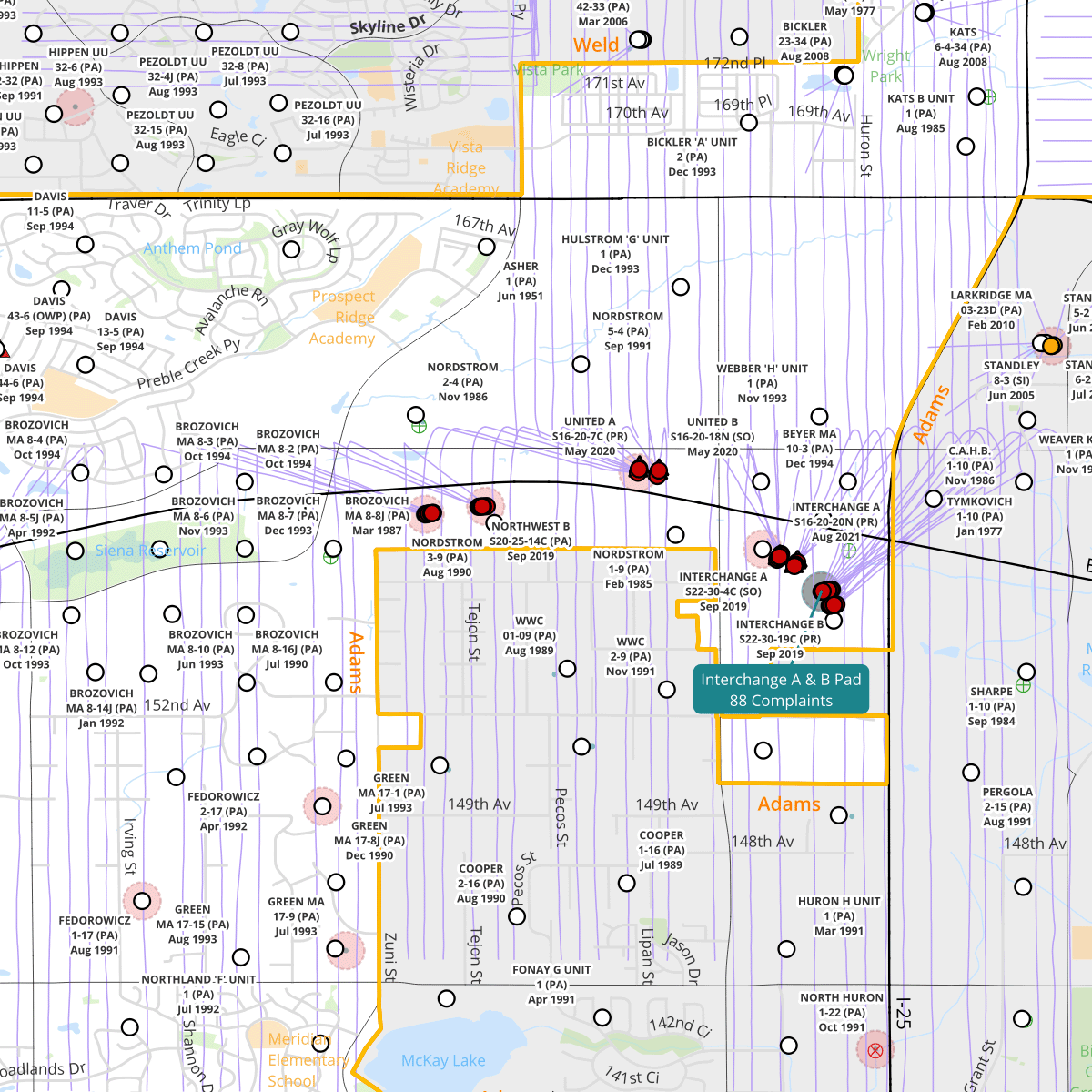
This map depicts the existing oil & gas infrastructure in and around the City and County of Broomfield. While the southwestern portion of Broomfield lies outside of the Denver Julesburg Basin, there are still 70 producing wells at 25 active locations, and 144 plugged and abandoned wells that will require maintenance and inspection forever. Use this map to identify wells near your home, or to use as a discussion tool when speaking with local, county, or state elected officials when you urge them to take action to address the climate crisis and our growing fossil fuel infrastructure burdens.
Your map will be printed to order at a 24 x 36 inch size on 24 lb paper and includes free local delivery to the 80516/Erie zip code.
Share